





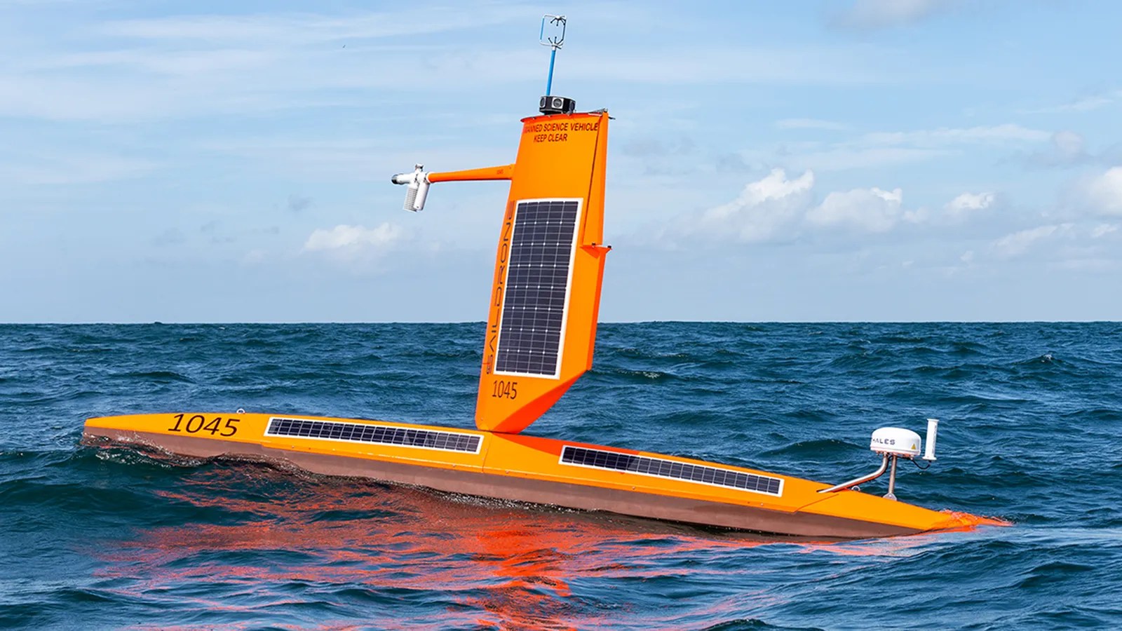
Hurricanes can cause widespread destruction, so early forecasting of their strength is important to protect people and their homes. The US National Oceanic and Atmospheric Administration (NOAA) is using saildrones to get better data from inside these monster storms.
Rising ocean temperatures due to climate change are causing hurricanes to intensify more rapidly than in the past, although modeling these changes is still a difficult task. People on shore need to know if they’re in store for a tropical storm or a high strength hurricane to know what precautions to take. Evacuating an area is expensive and disruptive, so it’s understandable that people want to know if it’s necessary.
Starting with five units in 2021, the fleet has gradually increased in size to twelve last summer. These 23ft (7m), 33ft (10m), or 65ft (20m) long vessels are propelled by wing sails and power their radio and telemetry systems with a combination of solar and battery power. No fossil fueled vessel can match the up to 370 days at sea without refueling that these drones can achieve, and the ability to withstand hurricane winds and sea conditions allow scientists an up-close-and-personal look at a hurricane without risking human lives.


More Stories
Radio Asheville launches an emergency alert network built to survive a total blackout, like occurred with Hurricane Helene (North Carolina)
Via the RSGB: WRTC 2026 results have been rescored
Via the RSGB: GB2RS News Script for 6 September 2026